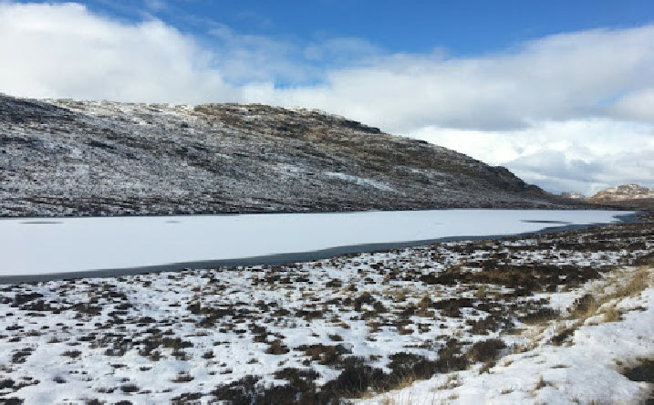
There’s a major change in the weather from this weekend, as an early winter cold spell arrives bringing the potential for disruption for some next week.
To begin with, high pressure remains in charge, bringing cloudy conditions for many with the possibility of fog overnight.
Friday is a similar day, but with things turning windier in the Western Isles and north Highlands with outbreaks of rain. Those winds strengthen over Friday ushering in colder Arctic air.
Blustery conditions are expected on Saturday, with a band of rain moving south whilst conditions turn colder in the islands and north, with the possibility of some hill snow.
The weather is set to wintry on high ground at first, likely to lower levels in Western Isles on Monday.
Met Office deputy chief meteorologist Rebekah Hicks said: “A notable early winter cold spell will arrive across the north from Sunday and will likely reach all parts of the UK by midweek.
“Temperatures will drop as a northerly airflow develops, bringing in colder Arctic air. This introduces the possibility of snow, initially over high ground in the north from Sunday, with gusty winds also a potential hazard.”
At this stage, there is much uncertainty in what might be experienced next week, with computer models showing a number of different scenarios.
Rebekah said: “There is a lot of uncertainty in what might happen after Sunday, but there are a number of scenarios which could bring some more widespread rain, along with some hill snow and stronger winds.
“It is possible that there may be some more widespread snowfall across lower ground, but the chance of this for any given region is low at this stage.
“What we do know is that the whole of the UK is likely to experience a spell of several days of cold, potentially disruptive weather next week.
“Warnings for wintry hazards, including snow and ice, are possible, so it’s important to stay up to date with the latest forecast.”

Windy weather followed by Arctic blast for Western Isles
14 November 2024