NASA’s eye-
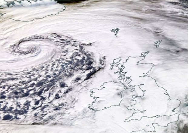
America's space agency’s satellite image shows the outer belt of the low pressure system sweeping over the Hebrides today (Sat), bringing a severe gale and an offshore sea surge to the islands.
Storm Dennis became a “bomb cyclone” or explosive cyclogenesis after intensifying with a dramatic drop in air pressure.
The centre of the storm continues to stay south of Iceland as it brings severe gales, heavy rain, dangerous seas and disruption across the UK and Europe this weekend.
Elevated sea levels resulted in an extreme high tide along the islands’ coastline this morning with the Bràighe taking the full force of heavy waves crashing into the sea wall, firing rocks onto the roadway.
In the Western Isles, this is a typical winter storm -
The storm extends around 5,000 miles with a weather front circling from Iceland around the Hebrides and stretching to near Florida.
Gusts of 77mph were experienced in South Uist and Breasclete, Lewis, this morning.
Similar wind speeds are expected locally on Sunday afternoon and the following Morning.
Alerts of very strong winds, transport disruption and the potential for power cuts are in place into Monday morning.
Some coastal routes and sea fronts may be affected by spray and/or large waves said the Met Office.
NASA
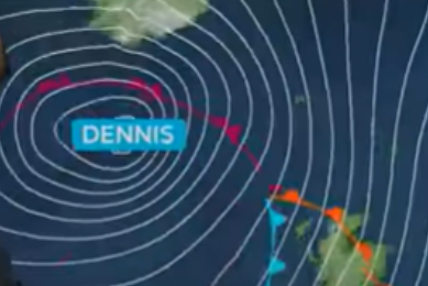
Storm Dennis tracks over the north of Scotland
15 February 2020

Met Office