Mixed weather conditions are forecast for the Western Isles for the first half of the week with snow preceded by strong winds.
Cold air drawing down from the north and spreading southwards, following a band of rain, sleet and snow, will bring frequent snow showers to much of Scotland
Wind speeds will pick up from Sunday, becoming stronger by the morning and peaking at force eight and nine for the Western Isles on Monday afternoon. Rough seas along with some rain or sleet are also expected.
From Monday night into late Tuesday morning snow showers are likely to lead to slippery and unsafe conditions on untreated roads, cycle paths and pavements.
These will accumulate on some roads and pavements, with anywhere between a light dusting and several cm of snow possible.
Between the showers, partially melted snow is likely to freeze on untreated surfaces leading to icy stretches.
Wintry showers will continue through Tuesday, although by mid-morning the temperature on most roads will likely have risen sufficiently to reduce the risk of further accumulating snow or ice.
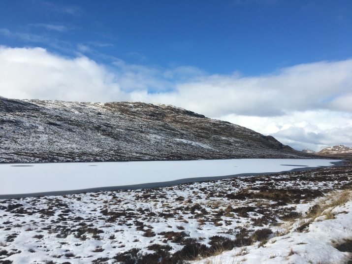
A frozen Loch Croistean in Uig, Lewis
Gales to be followed by another wintry blast
12 March 2023