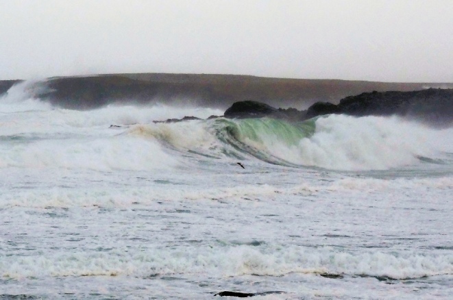
The Met Office has issued a yellow warning of wind as a spell of strong winds and persistent rainfall is expected to sweep across Scotland during Sunday.
Coasts and exposed locations could see gusts of 60 -
Whilst there is still some uncertainty as to the exact locations which will see the strongest winds, northern and western areas are likely to be most at risk.
The cold Arctic air currently in place over the UK will start to be displaced from Friday, with a return to milder Atlantic air from the west.
However, while temperatures will increase from the markedly low figures of recent days, this change in airmass will also introduce the likelihood of a return to wet and windy weather for most through the weekend.
A marked contrast in temperatures is leading to a powerful jet steam over North America and spinning up low pressure systems fuelling a change to unsettled, wet and windy weather over the weekend.
Met Office Deputy Chief Meteorologist Dan Rudman explained: “While the next few days will remain cold, we can see a change in weather type on the way, bringing milder air for the UK and returning temperatures to around average for the time of year from Friday onwards and well above average into next week.
“The Atlantic influence will then introduce some wet and windy weather, with a deep area of low pressure approaching from the west on Sunday.
“While detail is still being worked out, this has the potential to bring heavy rain and strong winds for some, and we’ve issued an early warning for a large part of the UK.”
Arctic blast set to retreat with potentially stormy weather by the weekend
17 January 2024